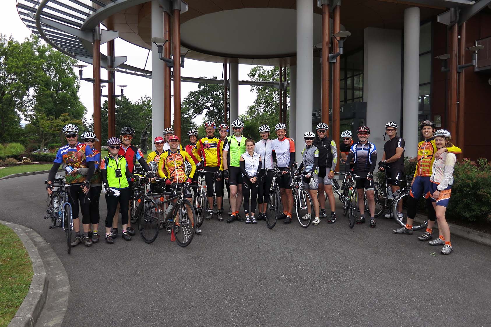
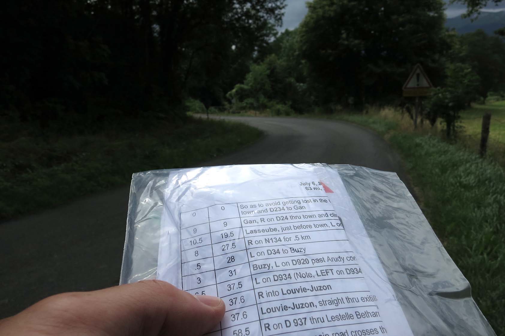
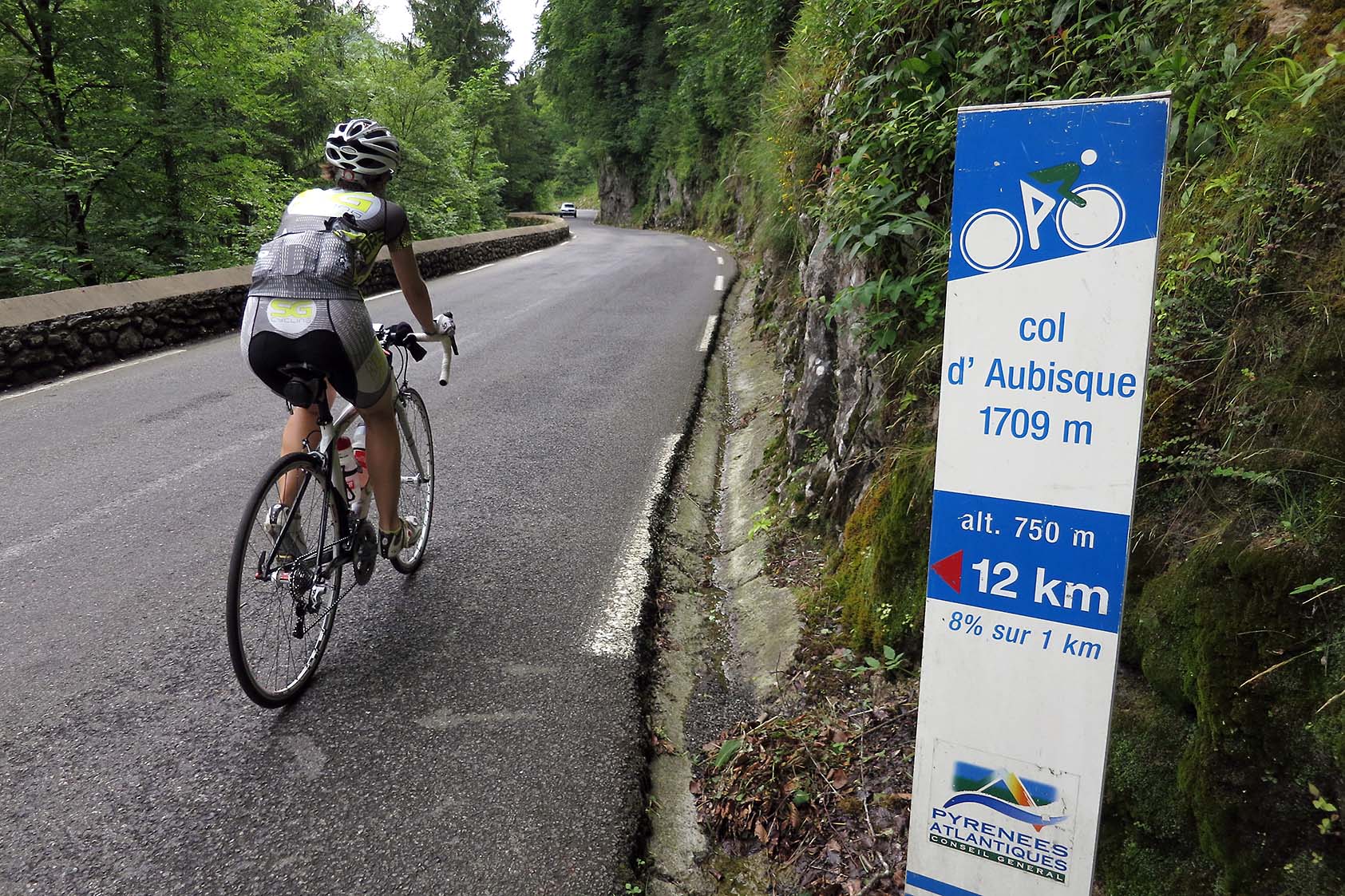
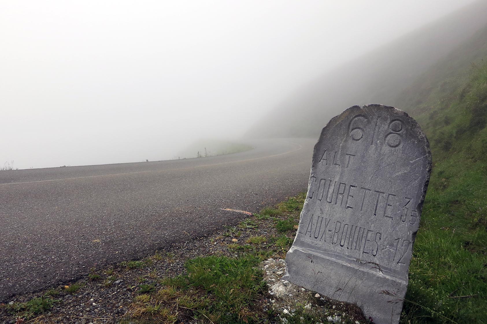
Well, we started off this tour with a Howitzer. We started in Pau this morning at about 9:15 am and headed south to the Col d’ Abisque. The hills just outside of Pau were as nasty as Lee Hill to Jamestown in Boulder County. It was 8% pretty much on any climb on our way over a couple ridges lined with grape vines and other crops. And this was just the start of the day. The weather was cool and humid, but nice. As we got closer to the big climb of the day the weather cooled off a bit more and we had to navigate a bit more. There are so many roads over here, it can get complicated trying to route find. But once we made it to Eaux-Bonnes, and stopped for an ice cream bar, the route was pretty definitive. Just go up.
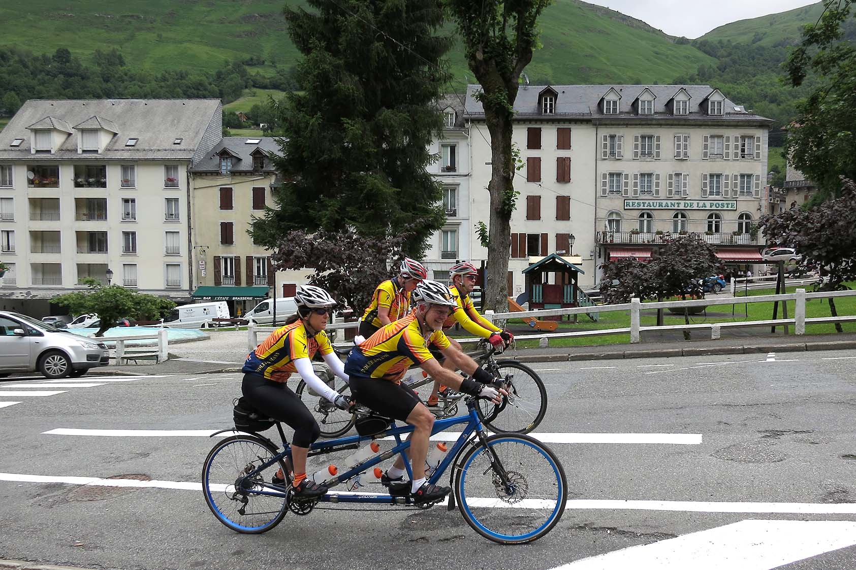
After all the riding we’ve done in Colorado – Loveland Pass from Idaho Springs, Trail Ridge Road from Estes Park and back, Berthoud Pass and more – it was beyond humbling to keep grinding out the pedals between 8 and 12 percent. It’s really wild when you look down and the Garmin says 6 or 7% and you feel like you’re getting a break. Anything less than that seemed like you were coasting. Keep in mind that I’m an idiot and have standard gearing on my bike. I’m running a 53/39 in the front and an 11/27 in the back. Most people have a compact crankset 50/34 in the front and even a 12/29 in the rear. So as I mashed away at the pedals for 12 km, I couldn’t believe how much of a struggle it was beginning to be. Just for perspective, the Tour de France will start in Pau and go over the Aubisque, the Tourmalet, the Aspin, and finally the Peyresourde. This is in one day and in probably about 6-6.5 hours. It took us almost 5 hours to do 63 miles, or HALF of Stage 16.
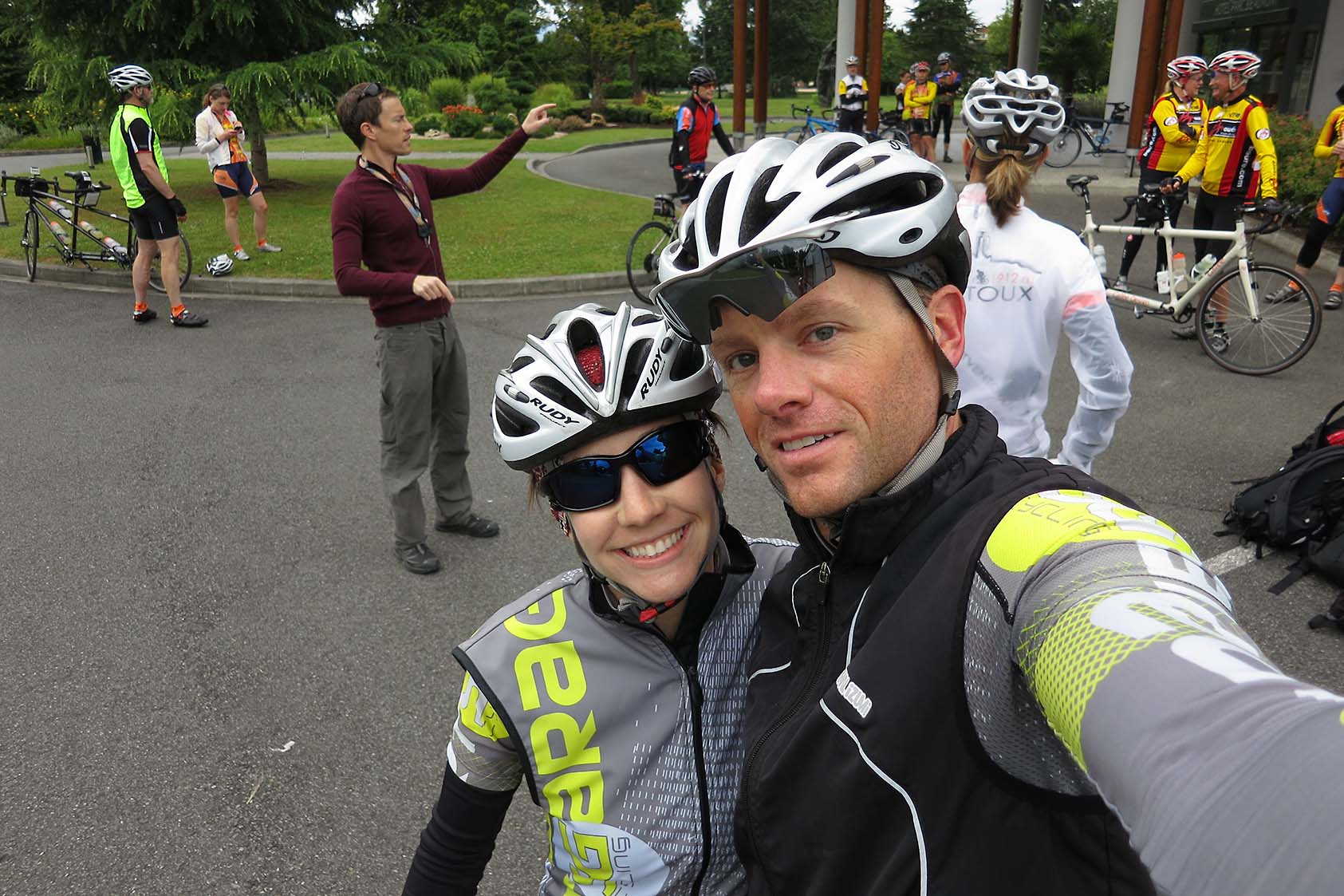
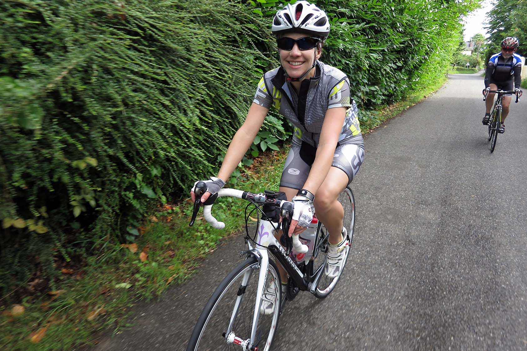
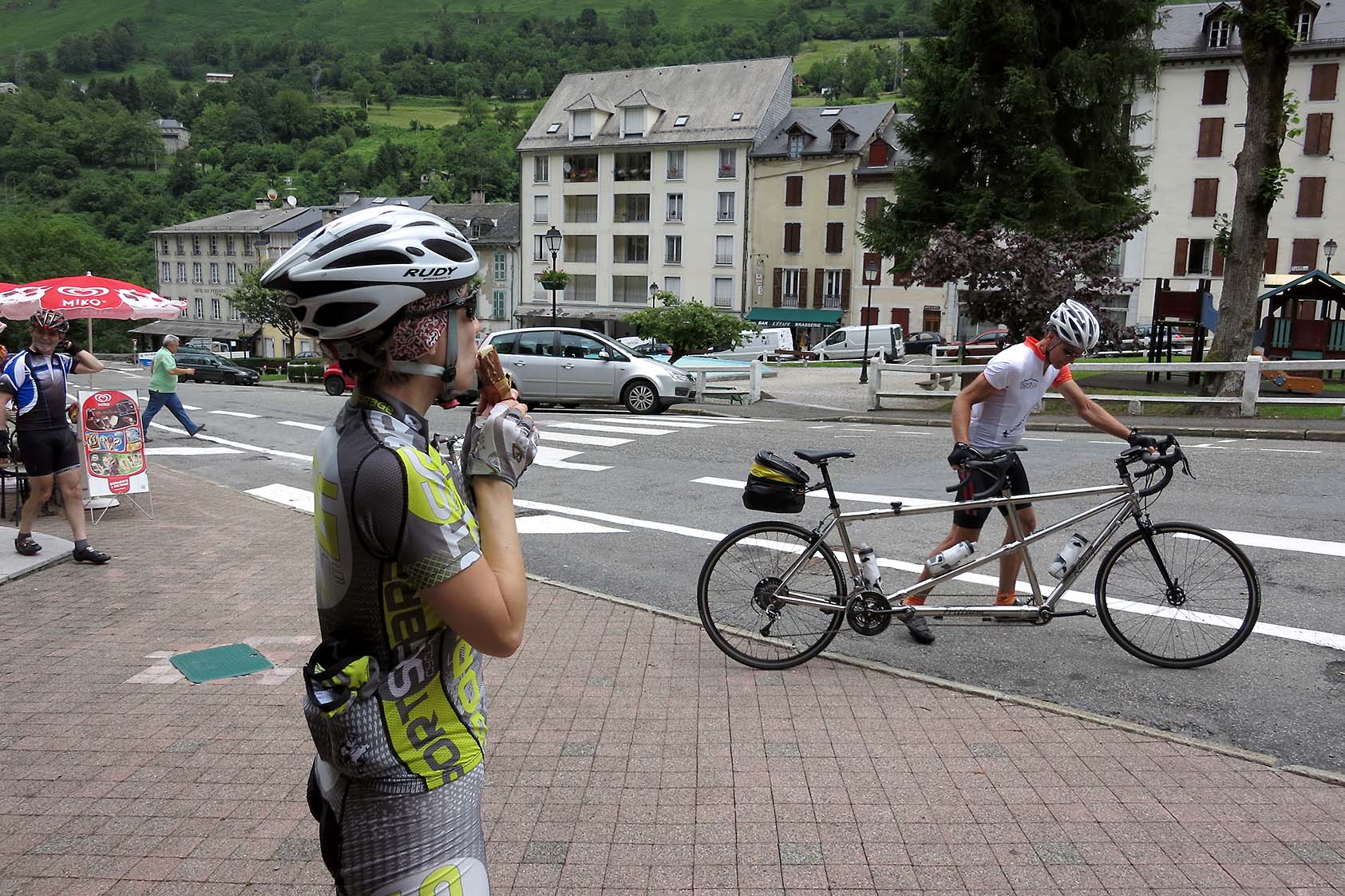
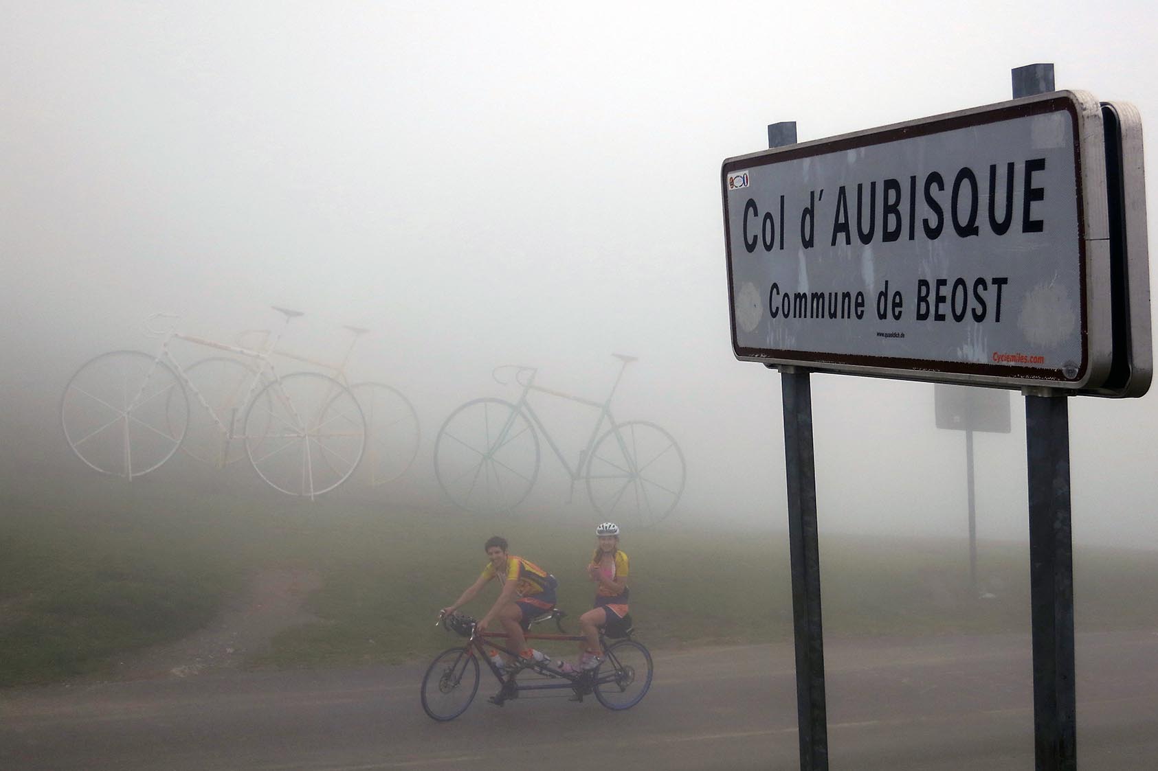
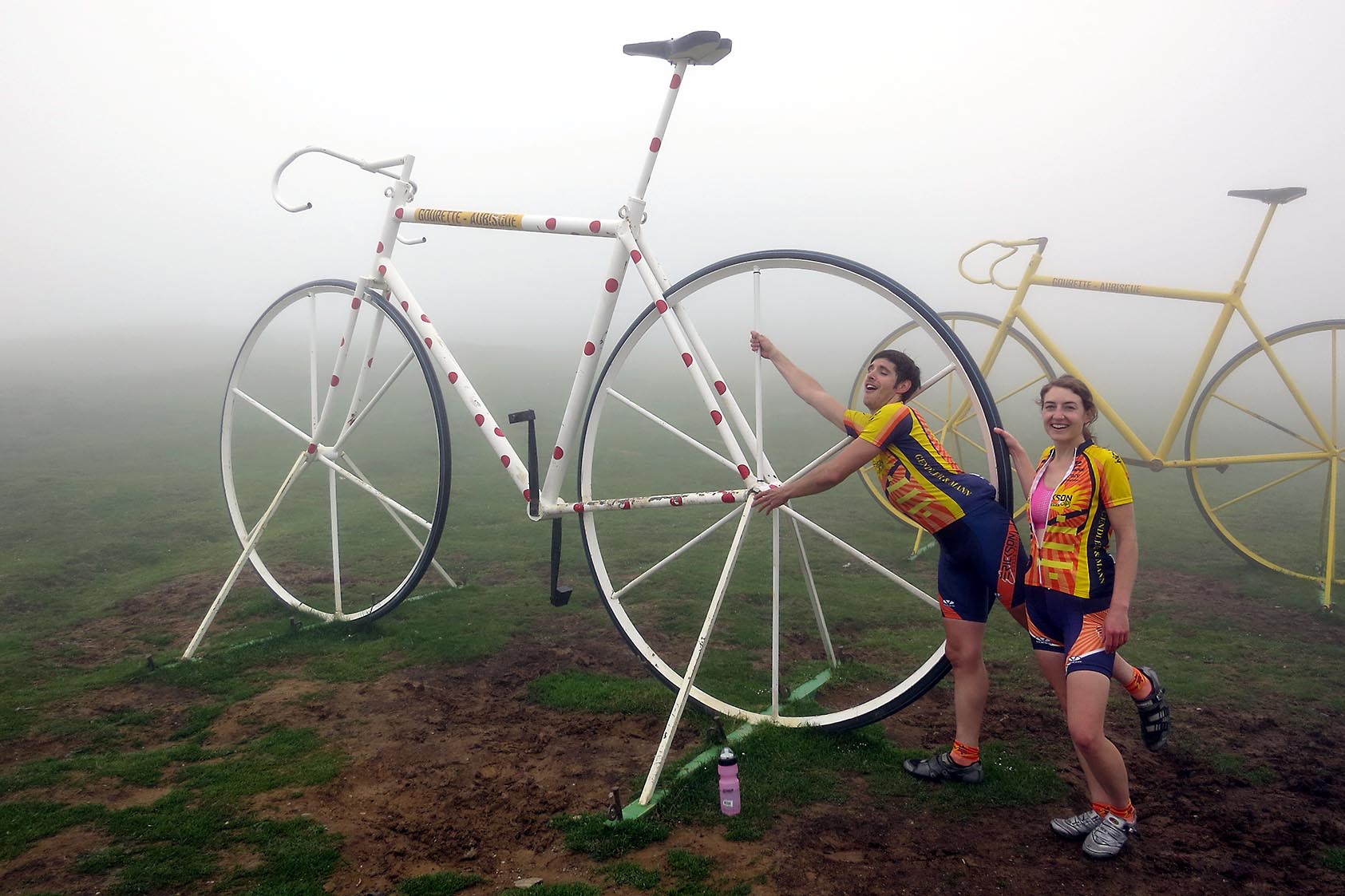
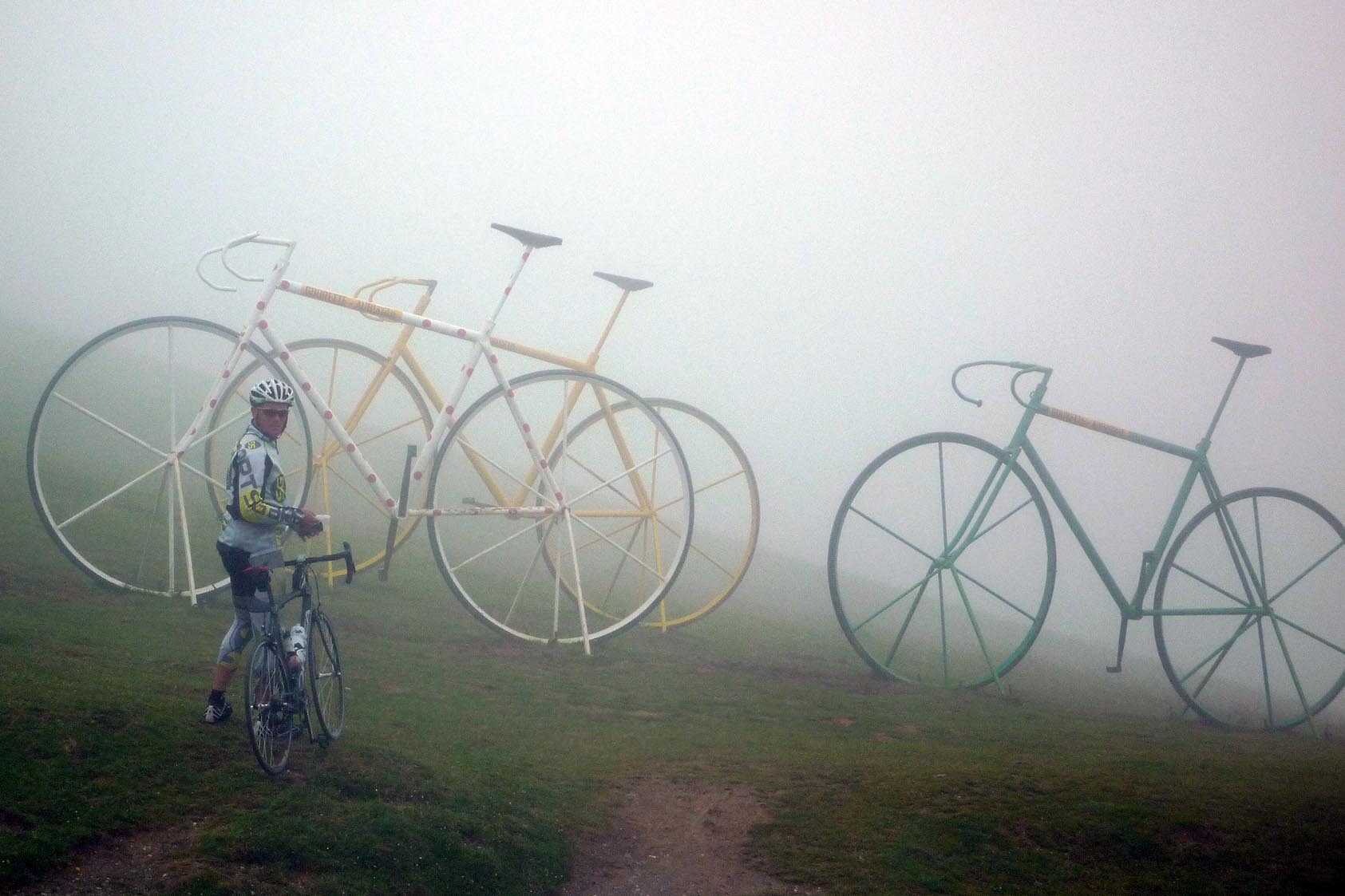
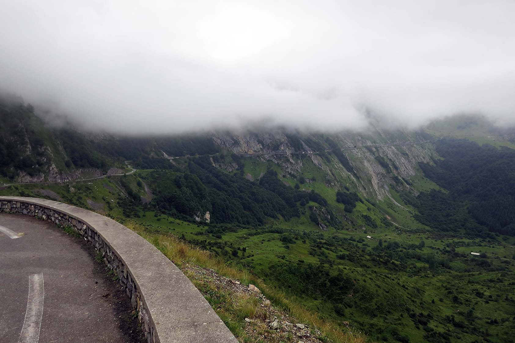
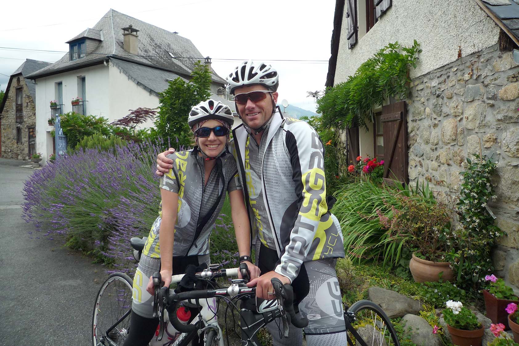
But back to our ride today….so after smashing away at the pedals, at about the 5km to go sign it started to get socked in with the clouds draped over the mountain. As you got closer to the top it only became thicker and at little damper. You could see about 40 yards at the most, and down to about 20 yards most of the time. You could hear bells in the distance from the necks of cows and sheep. Headlights from cars were nearly useless. after reaching the top there were a few from the group that had already stopped and grabbed a nibble to eat and were headed down the other side to the Soulor, another mountain pass we would have to make the 2k climb up. As I waited for Kristin to make it to the summit, I made photos for several people in the group. Then as Kristin arrived we headed into the small shop and mini restaurant for a small snack and something to drink. As we put on nearly every piece of cycling clothing we had to head down we were pretty excited to realize what we had just done.
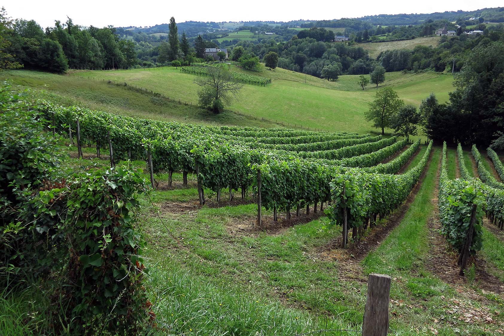
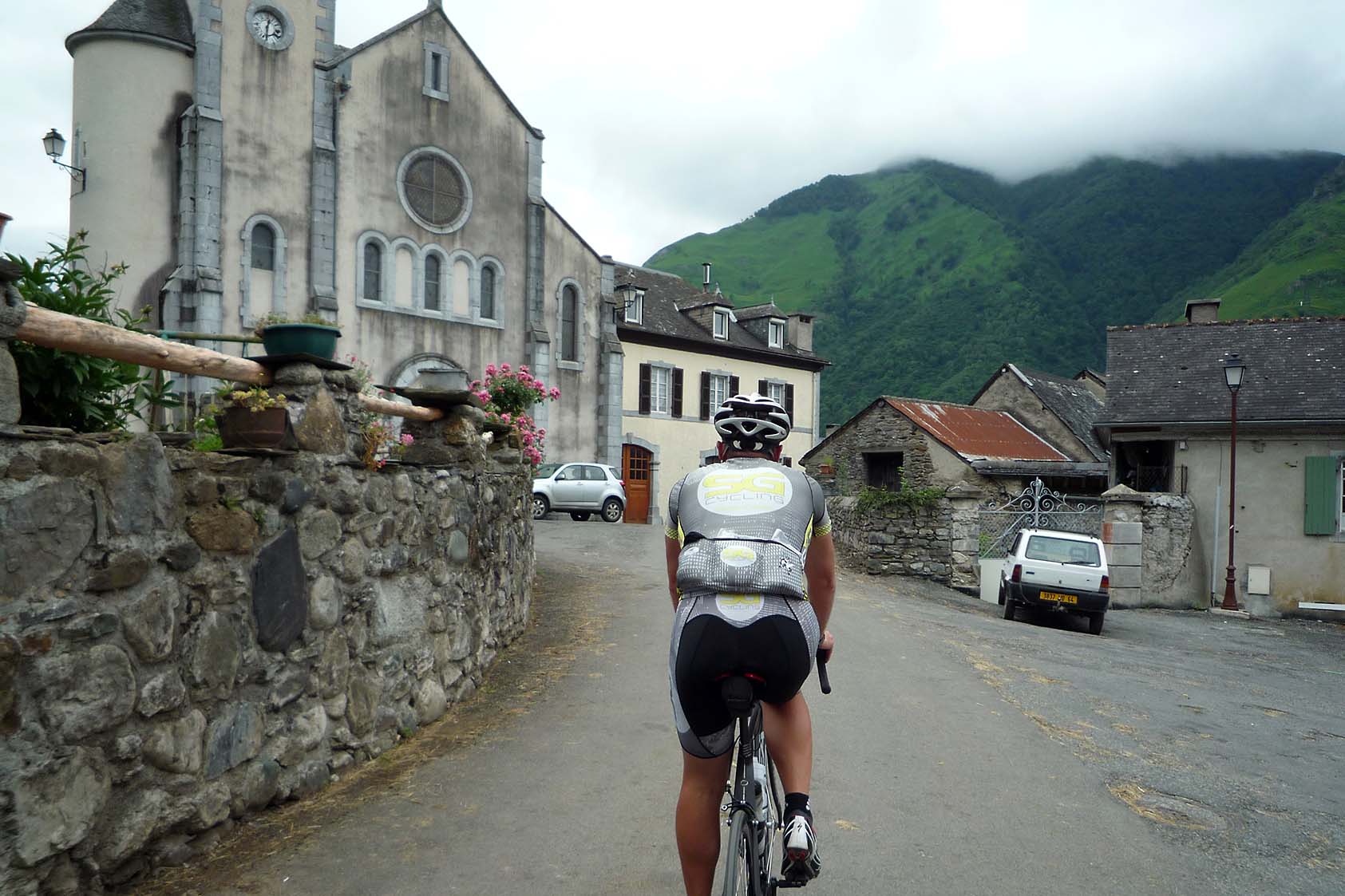
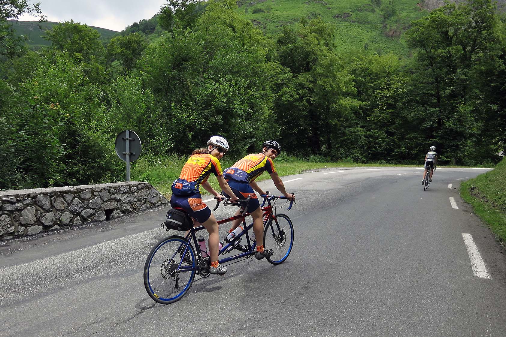
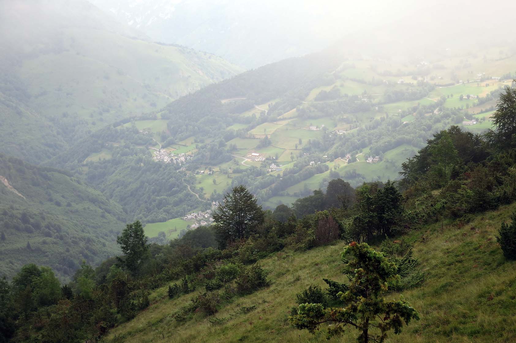
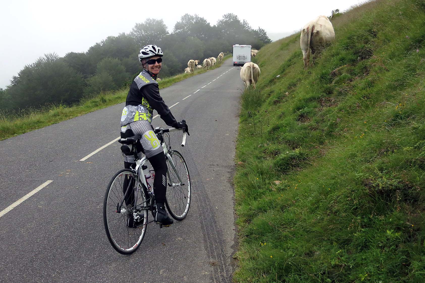
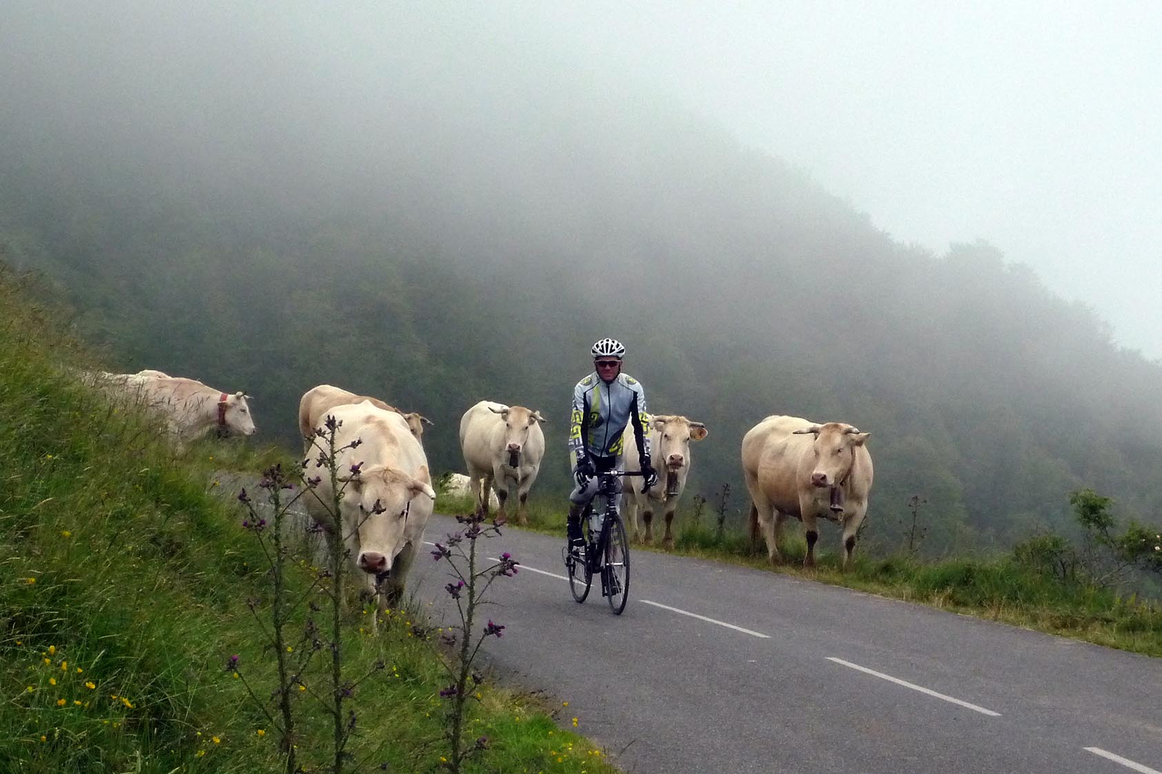
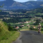
And after all of the nightmares of getting the bikes and ourselves over here, those issues began to fade from the mind. But then we started to descend to the Soulor. Once we cleared the clouds the valley opened up like a National Geographic film. Then two gigantic golden eagles were racing us down the road, about 20 yards away along the edge of the frightfully narrow road. Then we were forced to stop for a moment as some cows with big bells on their necks wandered in the roadway. Stopping traffic and seeming to not give a rip. As we continued down the road the beauty of the area was astounding. And in this roller coaster ride we decided that all the hassles from just a few days prior were completely worth just this day alone. And to think that we would have 12 more to enjoy. The tiny villages that we wound through as the road dodges houses, churches and abbeys. The carnival rides around the switchbacks as we cruised around 35 mph. The vast expanses of the valley walls, blanketed in a thick green carpet. All of this, and it was just the beginning of it all.
So all in all, we did somewhere between 7,400 and 9,000 feet of climbing in 63 miles today. The Garmin stated the former after the ride and the latter was determined by the “auto-correct” on the Garmin Connect website. Either way, it was a ton of work with more than rewarding pay off.
Tomorrow is a bit easier with a short ride into Gavernie with some short spikes off the 25 mile ride to our next hotel. Then once we are there we can hike up to some of the tallest falls in the country. It should be pretty nice. Then on Sunday is the toughest day of the trip. But that’s a ways out, we’ll focus on tomorrow and enjoy it all first before having to work harder than we did today.
But those two little wild strawberries I nibbled on outside of Eaux-Bonnes were just as amazing as the ride today. Wow…
-JL
(ps: I hate this gallery function, but it’ll have to do for today. I’ll try to fix it tomorrow.)